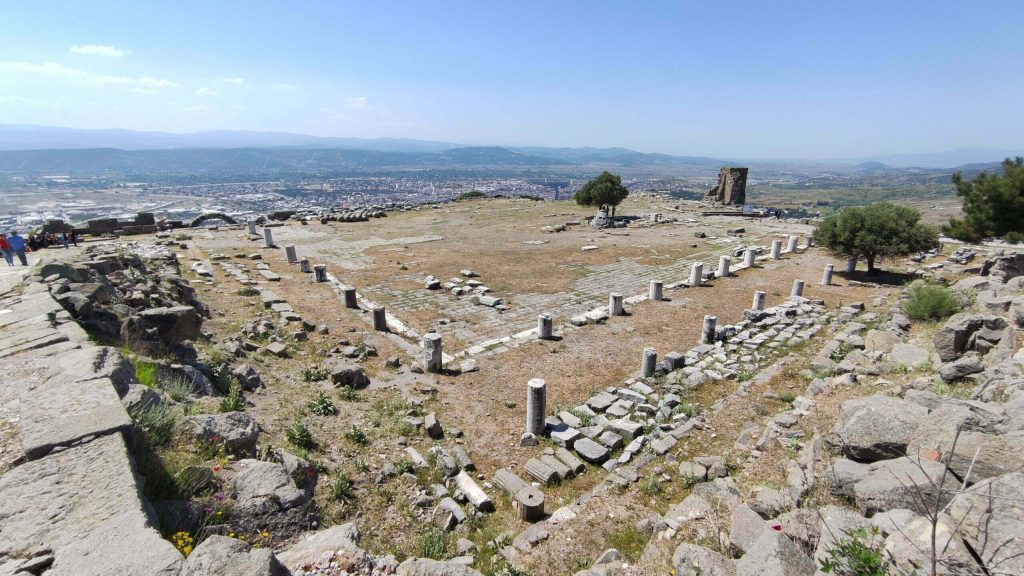
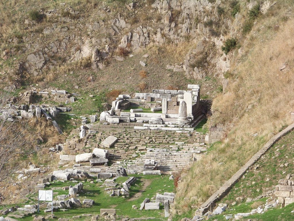
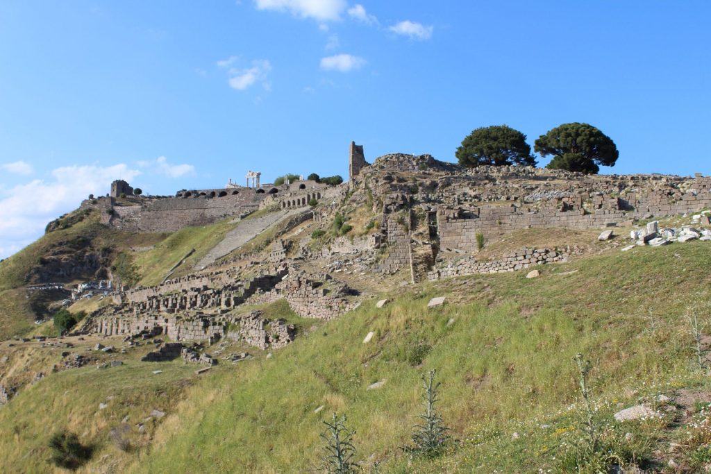
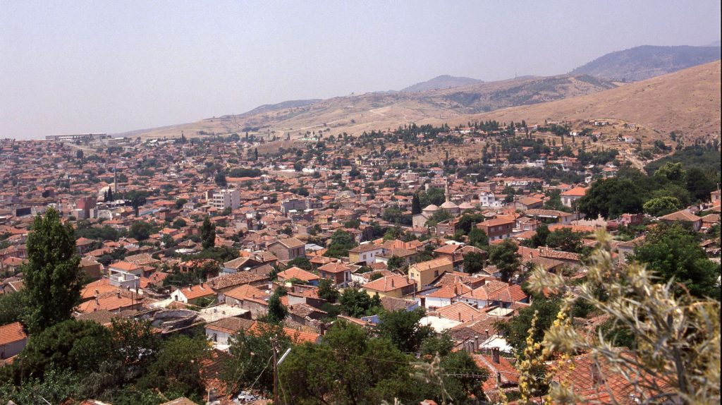
In Bergama, which is the largest district of İzmir in terms of area, located in the Bakırçay Basin, and situated in a position where significant transportation routes have passed throughout history, there is a texture where archaeological and urban cultural heritage layers are intertwined, suitable for agriculture and animal husbandry due to its geographical conditions. In Bergama, which includes layers from the Hellenistic, Roman, Byzantine, Karesi Principality, Ottoman, and Turkish Republic periods, more than 1500 urban cultural assets were researched and documented between 2003-2009 with the ‘TÜBA-TÜKSEK Bergama Urban Cultural Assets Inventory Project’.
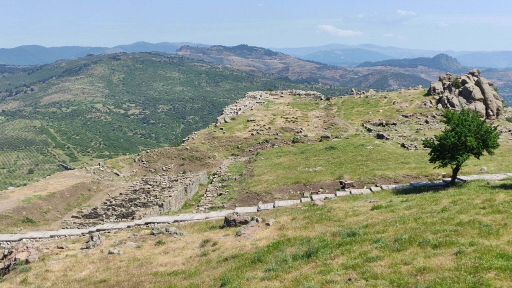
In ancient times, the settlement located on the hill (Acropolis) north of the Bergama River spread towards the plain during the Roman period. Bergama, which began to lose its importance in the 6th century, was raided by the Umayyads in the 8th century, and by Turkmen raids in the 12th century, and saw almost no settlement between the 8th and 11th centuries. In the 12th century, under Byzantine rule, it continued to exist within the walls; after the collapse of the Anatolian Seljuk State at the end of the 13th century, it came under Turkish rule in the 14th century. In the 18th century, with the introduction of water, and with construction and repair activities during the time of the Karaosmanoğulları, the population of the region increased. At the end of the 19th century, although the Muslim population was in the majority, there were Greeks, Armenians, Jews, and foreigners living in Bergama. In 1878, many immigrants from Rumelia were settled in Bergama, and there was mobility in the population during the Balkan Wars and World War I. During the 1919 Greek occupation, the local population took refuge in Soma, and Greeks left Bergama through an exchange of populations in 1922.
Bergama reflects the Anatolian Turkish urban structure of the Ottoman Period. It is thought that the Ottoman period settlement began around the Seljuk Mosque (Selçuk Neighborhood), built during the Karesi Principality period at the beginning of the 14th century, and the minaret of which remains today. Between the 14th and 19th centuries, with structures such as mosques, masjids, baths, madrasas, libraries, and fountains, it continued to grow and develop outside the walls. The flood in 1842 and the fire in 1853 largely destroyed the traditional urban fabric, causing damage to houses, shops, and inns.
